Tirupattur is a town located in Vellore District, India, which is one of the oldest towns in Tamil Nadu. It is located approximately 40 km from Krishnagiri, 85 km from Hosur, 61 km from thiruvannamalai and 125 km from Bangalore. This is the second biggest and densely populated town in Vellore district. The town has mainly small-scale industries and mills. Some people might describe Tirupattur as a satellite town, in which people reside and go to work in nearby industrial towns such as Vaniyambadi and Ambur in the north, but it is an important commercial center from time immemorial (whereas Vaniyambadi and Ambur, which were once smaller towns, have recently flourished). It was a revenue subdivision during British raj and remains so. It has Old Shiva, Vishnu temples and Tanks[Big Tank & Small Tank] built during the Hoysala Dyanasty. It is well connected by road and rail to other important cities of Tamil Nadu such as thiruvannamalai Chennai, Salem, Coimbatore and Vellore and to Bangalore in Karnataka. This town is also famous in Islamic religious circles as many great saints "Awliyas" had made it their home town. Some of them are buried at various places in the town, including Hazrath Syed Sha Mohammed alias Syed Khawja Meeran Hussaini Jaffari, Hazrath Syed ShaAmeenuddin Hussaini Chisty ur Kahdri (who is better known as Munshi Hazrath); he was the last among a series of saints who have lived and have been buried at Tirupattur.
Extreme weather in China

China Earthquake Information

Volcano eruption

Environmental Radiation in China

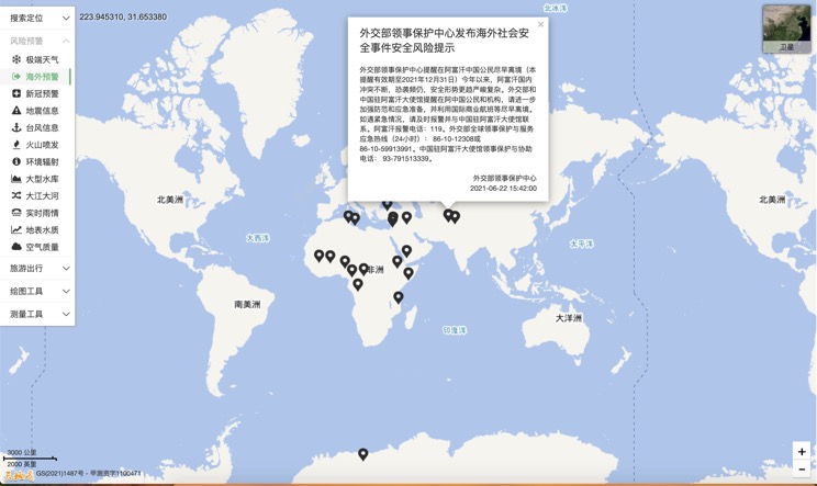
Overseas Warning
China's air quality

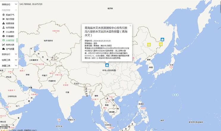
China's Water Disaster Alert
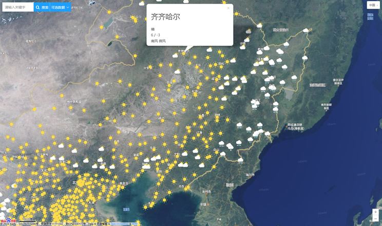
China Weather Forecast
Introduction to Countries

China Subway Lines

China's 5A Scenic Spots

Provincial Capitals in China
